Most Beautiful Flying Field
in Middle TN
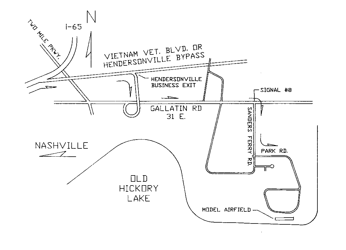
100 Sanders Ferry Rd.
Hendersonville, TN 37075
Current Field Conditions
(Field Elevation = 459 ft.)
-
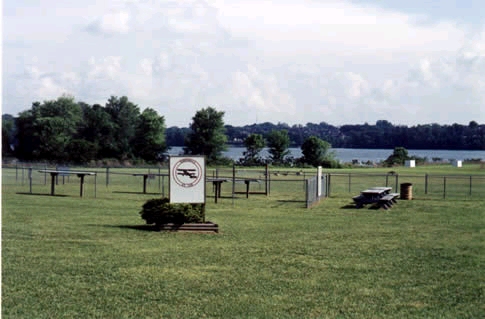
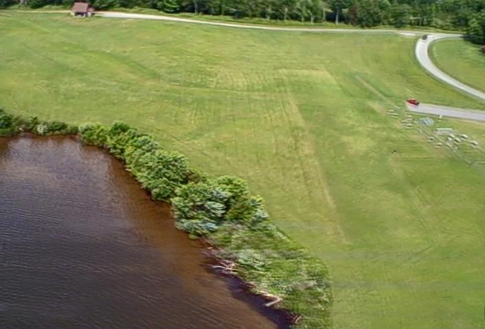
Our Field
Click on photos for larger versions
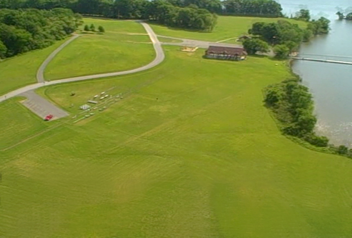
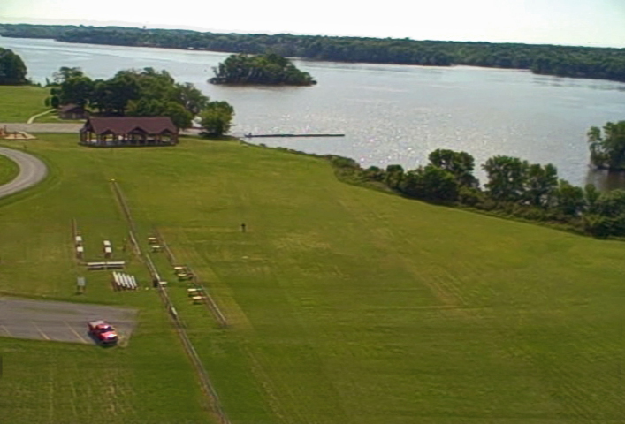
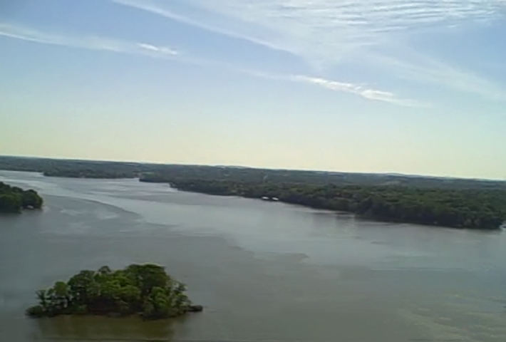
![]() See an aerial view
of our field
See an aerial view
of our field
( 40 megs)

![]()

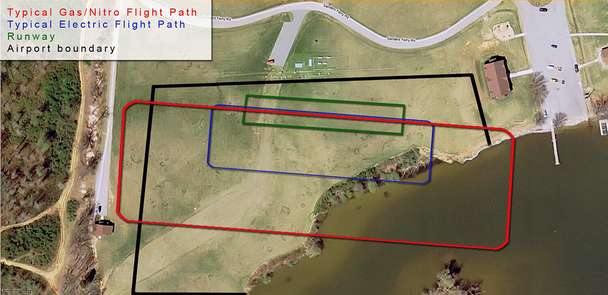
If you have the RealFlight simulator ( G3.0 to G4.5 ) then you can
download and install a “photo field” of our airport for
your RealFlight simulator. It's really easy to do. First, depending on
your version of RealFlight, download and unzip the appropriate file
below then, in any version of RealFlight, just go to > Simulator
> Import. Iin G3.0 or 3.5, select >.G3X and navigate to the .G3X
file you downloaded or, in 4.0 or 4.5, select >.RFX and
navigate to the .RFX file you downloaded. Please note – I did not
have the time to add any "objects" yet so you can fly through the
fences, the trees, my car, ect., I will try to update these files as
time permits but, for now, you can practice flying at our field
whenever you want! Also, this photo was taken during a span of time
when we hadn't had a drop of rain for 2 months – our grass is
much greener now!
If you have RealFlight G3.0 or G3.5 then you need THIS file. ( ~44 meg )
If you have RealFlight G4.0 or G4.5 then you ned THIS file. ( ~44 meg )